Project
In the fifth intermediate planning phase in the area of geological research, the following research projects are being managed by the Research Institute of Geology and Geoinformation. In order to achieve these intermediate research project goals, we are using a matrix approach where research groups handle basic and new seed research projects, and project research teams span across unit groups to handle project research.
Geological Map
Project leader, Hidetoshi HARA
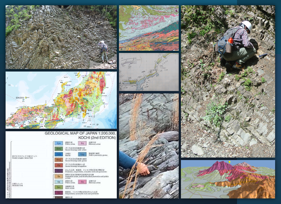
We produce and publish 1:50,000 and 1:200,000 scale geologic maps, and seamless 1:200,000 geological map V2.
Geological maps are used in many research areas, such as lifeline infrastructure construction, selection of locations for industrial sites and waste management facilities, resource development, tourism planning, disaster prevention, and hazard mapping.
Marine Geological Map
Project leader, Takahiko INOUE
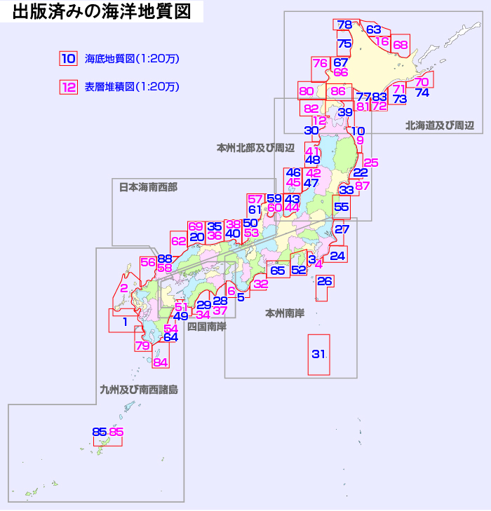
The Marine Geological Map Project develops marine geological information such as geological structure and distribution of seafloor surface sediments in coastal and offshore areas.
Seamless Geoinformation of Coastal Zone
Project leader, Takuya ITAKI
The coastal area from the shore to a depth of several tens of meters is an area that is difficult to be surveyed by research ships. We are developing geological information covering ocean, coastal, and terrestrial areas to help evaluate industrial sites and earthquake disaster prevention measures in coastal areas.
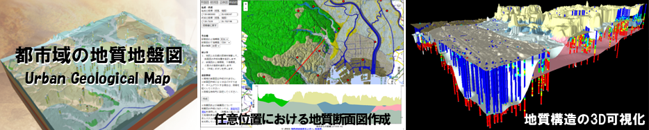
3D geological modeling in urban area
Project leader, Susumu NONOGAKI
In the 3D urban geological map project, we reveal the detailed distribution patterns of geological strata beneath urban plains, using borehole data created for stratigraphic studies by the GSJ, AIST and for public construction works by the national and local governments. Additionally, we develop a web system to provide the 3D geoinformation in an easy-to-understand and easy-to-use style.
Risk Assessment of Slope Hazard
Project leader, Yoshinori MIYACHI
The project develops disaster risk maps to evaluate a landslide risk from geological maps, satellite data, and geophysical for disaster prevention and mitigation.
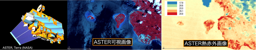
Integration and application of satellite remote-sensing data
Project leader, Satoru YAMAMOTO
We maintain and utilize satellite remote-sensing data to monitor global environmental changes. We are responsible for the operation, data processing, and calibration and validation of satellite data of ASTER with METI satellite sensor, and provide all archived data and value-added services over the past 20 years. We are also engaged in applied research in the fields of the Earth environment and disaster prevention by combining information obtained from remote-sensing data with geological maps, field observation data from spectroscopic measurements, and laboratory spectroscopic data.
Geochemical Map
Project leader, Ran KUBOTA
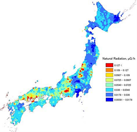
The Geochemical Map Project produces geochemical maps that provide important basic data for elucidating the geochemical behavior of elements. We have compiled a dataset of the concentration distribution of 53 elements, including toxic elements such as arsenic, throughout Japan, and provide it as Database of the Geochemical Maps.
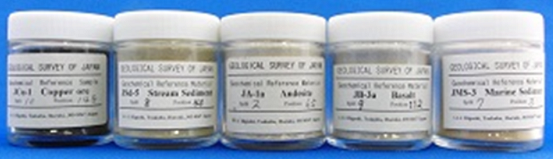
ISO Certified Geochemical Standard Materials
Project leader, Mitsuo MANAKA
We are the only issuing authority in Japan that produce reference materials (RMs) for geochemical analysis. These RMs are certified RMs (geochemical RMs) in accordance with ISO regulations and accredited as ISO-compliant RM producers. Information on the RMs is available at Geochemical Reference samples Database.
Geophysical Map
Project leader, Kazunari NAWA
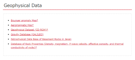
The Geophysical Map Project improves and develops gravity and magnetic survey techniques and produces gravity and magnetic maps by editing the data acquired from the surveys. We provide information on gravity and magnetic anomalies to the Geological Maps published by the Geological Survey of Japan (GSJ), AIST. The results of the project are available on the "Database" page.